
Lake County ZIP Coverage
Census relationship files identify 30 ZIP Code Tabulation Areas, or ZCTAs, that intersect Lake County. A ZCTA is a Census approximation of the area served by addresses carrying a ZIP, not an official USPS boundary. Some overlap is small, and some postal labels point outside Lake County. The Lake County ZIP code directory therefore keeps the mailing name and jurisdiction notes together.
| ZIP Code | Areas Covered | Post Office | Notes |
|---|---|---|---|
| 32102 | Astor | Astor | North and east river community |
| 32134 | Fort McCoy | Fort McCoy | Small cross-county Lake overlap |
| 32159 | Lady Lake | Lady Lake | Northwest Lake County |
| 32163 | The Villages | The Villages | Multicounty, small Lake overlap |
| 32195 | Weirsdale | Weirsdale | Small boundary overlap |
| 32702 | Altoona | Altoona | Northeast county |
| 32720 | Eastern rural Lake | DeLand | Postal city does not prove Volusia jurisdiction |
| 32726 | Eustis | Eustis | Central and north Lake |
| 32735 | Grand Island | Grand Island | Unincorporated community |
| 32736 | Eastern Eustis area | Eustis | Eastern postal territory |
| 32757 | Mount Dora | Mount Dora | Crosses county boundary |
| 32767 | Paisley | Paisley | Eastern rural Lake |
| 32776 | Sorrento | Sorrento | Cross-boundary postal area |
| 32778 | Tavares | Tavares | County seat with boundary edge |
| 32784 | Umatilla | Umatilla | Cross-boundary edge |
| 34705 | Astatula | Astatula | South-central Lake |
| 34711 | Clermont | Clermont | South Lake |
| 34714 | Clermont and Four Corners | Clermont | Fast-growth multicounty area |
| 34715 | Minneola | Minneola | South Lake |
| 34729 | Groveland | Groveland | Tiny or PO-related ZCTA; verify USPS |
| 34731 | Fruitland Park | Fruitland Park | Crosses county boundary |
| 34736 | Groveland | Groveland | Southwest Lake |
| 34737 | Howey-in-the-Hills | Howey-in-the-Hills | Central Lake |
| 34748 | Leesburg | Leesburg | West and central Lake |
| 34753 | Mascotte | Mascotte | Southwest Lake |
| 34756 | Montverde | Montverde | Southeast Lake |
| 34762 | Okahumpka | Okahumpka | Unincorporated west-central area |
| 34787 | Southeast Lake | Winter Garden | Orange postal name reaches Lake County |
| 34788 | North and east Leesburg area | Leesburg | Leesburg postal territory |
| 34797 | Yalaha | Yalaha | Unincorporated south-central community |
The table names postal areas, not confirmed post-office buildings. Use the USPS tool for a deliverable address and current ZIP. The tiny 34729 ZCTA is the clearest warning: a PO-related Census area does not prove that ordinary street delivery works the way a polygon suggests. Lake County's ZIP code geography also includes multicounty contexts around The Villages and Four Corners.
Lake County Postal Name Traps
A DeLand mailing label in 32720 can describe an address in eastern Lake County. Likewise, 34787 carries Winter Garden into southeast Lake. Neither name settles which county or city holds a permit file. For 34714 near Four Corners and 32163 near The Villages, the same postal area spans more than one county context. Mount Dora, Sorrento, Umatilla, and Fruitland Park also have ZCTAs that cross county boundaries.
These are not errors. USPS labels route mail, while counties and cities assign taxes, permits, courts, and public services. Search the parcel in Lake County Connect before choosing a custodian. A city name in a mailing address may refer only to postal service, and an unincorporated address may still use the nearest incorporated place name.
Boundary check. Keep postal city, municipality, county, community, and parcel legal description as separate fields in every Lake County search.
Communities Beyond Lake County ZIPs
County maps identify 21 Distinctive Communities: Altoona, Astor Park, Bassville Park, Bay Lake, Deerhaven, Emeralda Island, Ferndale, Forest Hills, Fullerville, Grand Island, Lake Jem, Lake Kathryn Heights, Lisbon, Mt Plymouth, Okahumpka, Orange Bend, Paisley, Shockley, Sorrento, Villa City, and Yalaha. Their names can appear in local records even when the mailing label uses a larger postal city.
Lake County covers roughly 952 land square miles, with lakes, wetlands, farms, and separated settlements. That landscape produces more postal ambiguity than a compact city grid. Northern growth around Lady Lake and The Villages differs from southern growth near Clermont, Minneola, and Four Corners, while Astor and Paisley remain eastern rural reference points. A ZIP code directory should preserve that local identity instead of collapsing every place into its mailing city.
Search Lake County by ZIP
Lake County Connect does not expose a documented ZIP search box. The reliable method combines USPS address verification, GIS location, and parcel data. For a broad statistical area, Census ZCTA figures are useful when clearly labeled as approximations. For parcel groups, use spatial selection, GeoHub data, or the monthly tax-roll files. Voter geography requires a lawful redacted public-record extract rather than scraping the authenticated personal lookup.
- Enter the full street address in the USPS ZIP Code Lookup and save the standardized postal result.
- Locate the address in Lake County Connect. Record city-limits status, subdivision or community, parcel, and situs address.
- Open the parcel result in LC PARS. Keep the owner's mailing ZIP separate from the property's situs ZIP and legal description.
- For a set of parcels, use a GIS spatial selection or monthly roll extract. Do not claim the interactive property search filters by ZIP.
- If voter data is needed for a lawful civic purpose, request the authorized redacted extract from the Supervisor of Elections.
Once the postal area is narrowed, use the Lake County street directory for a parcel-by-parcel street workflow. A ZIP-wide list can be too broad to distinguish two people or determine who occupies a specific address.
The official USPS lookup shows the form used to validate current postal routing.
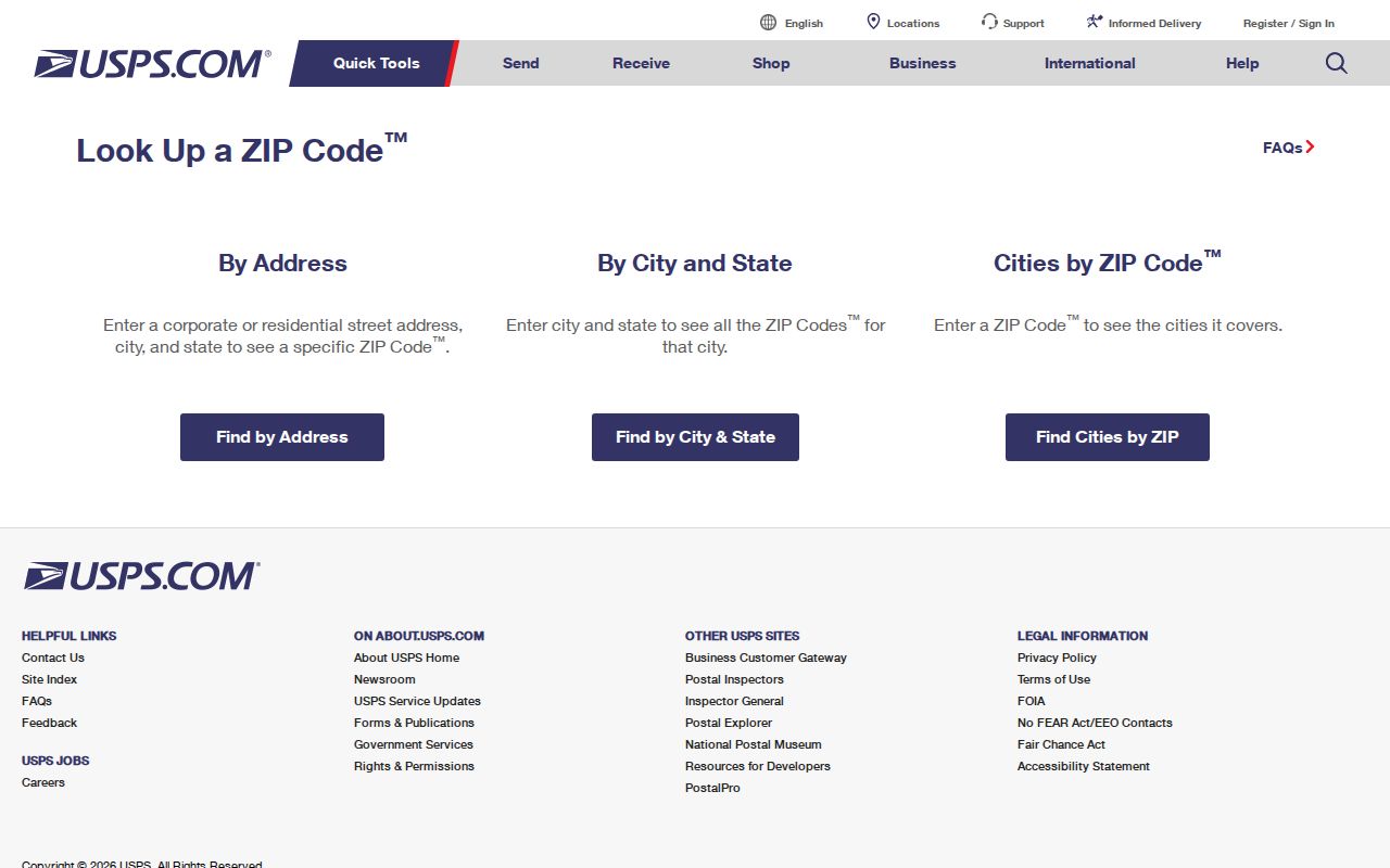
This screen is the right first check before any Lake County parcel or records search assumes a ZIP from a map.
Use Lake County ZCTAs Carefully
The Census Bureau builds ZCTAs for statistical reporting by assigning blocks to the most common nearby ZIP. The method is useful for population and household comparisons, but it does not reproduce every USPS delivery route. PO-box-only codes may have no matching ZCTA, and a ZCTA can include land where another mailing label seems more familiar.
The Census ZCTA guidance explains why the statistical areas approximate postal geography.
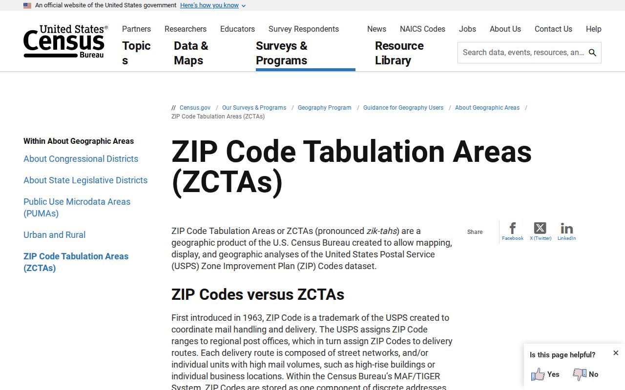
The distinction is essential when comparing Lake County data: label a Census figure by ZCTA and verify a live address through USPS.
Lake County grew 18.8 percent from its 2020 base to a 2025 estimate of 456,068 residents. Rapid growth makes the date of each postal, parcel, and population source important. A recent subdivision may appear in current delivery data before an older statistical layer reflects it.
Compare Lake County Address Fields
A parcel search can return several kinds of location data. The situs address locates the land or improvement. The owner mailing address is where assessment notices go and may be outside Lake County or Florida. The legal description identifies the land by subdivision lot and block, section-township-range, or another surveyed description. ZIP code is only a postal route field.
| Field | Meaning |
|---|---|
| Situs address | Assigned location of the parcel or improvement |
| Mailing address | Destination for owner notices, not proof of occupancy |
| Legal description | Survey-based identity that survives postal label changes |
| ZIP or ZIP+4 | USPS routing detail for delivery |
The distinction has deep local roots. A 1932 Lake County pamphlet counted 704 nonresident-owned grove parcels, showing that owner mailing location and land location differed long before modern databases. Keep both addresses without treating either as a resident roster.
Lake County ZIPs Versus Cities
City limits decide whether a city or Lake County handles many permit and code files. ZIP boundaries do not. Lake County Connect includes City Limits and Annexations layers that can resolve the jurisdiction. For land inside Clermont, Leesburg, Mount Dora, or another municipality, city records may hold the permit or code file. Unincorporated parcels generally use county systems. The postal name alone cannot make that choice.
- ZIP versus ZIP+4
- A five-digit ZIP identifies a delivery area; the four added digits narrow a route, building, or group of delivery points.
- PO-box ZIP
- A code used mainly or only for post-office boxes, which may not map like a street-delivery area.
- Unique ZIP
- A code assigned to one large organization or destination rather than a general neighborhood.
- Carrier route
- The sequence of addresses served by one delivery route, not a city or county boundary.
ZIP codes began in 1963. Do not apply a modern Lake County ZIP to a person in an earlier directory unless later evidence supports the link. Historical sources used town names, rural routes, streets, plats, and survey descriptions. Parcel IDs and legal descriptions are safer bridges across postal change.
Note: Lake County addressing questions go to Public Safety Support at 352-253-1818; GIS city-limit questions go to 352-343-9775.